Real Time Map Data in the National Park Service

GeoNYC “When There's a Bump in the Road”: Monday, January 11, 2016
https://www.nps.gov/npmap/slides/working-with-real-time-data/

Empowering National Parks with Open Source Mapping Tools

- NPMap: web maps for the National Park Service
- A team of developers, cartographers, and data engineers that build tools to enable web mapping across the NPS
- Focus on public-facing maps
- NPS Graphic Identity Standards
- Open-source technologies shared with the public
NPS Places

NPS Places
Technologies
- Editors: modified iD editor from OpenStreetMap
- A modified version of the iD editor from OpenStreetMap
- JOSM is also supported for advanced editing and imports
- Uses the OpenStreetMap API and data schema
- node.js
- PostgreSQL and PostGIS
- CartoDB
NPS Places
Data Process
- User adds data through the iD editor or JOSM
- Changeset is written to the API database
- A write to the PostGIS database is triggered when a changeset is completed
- The points are rendered into points, lines, and polygons based on their tags with SQL in PostGIS
- Every 5 minutes a process runs that finds changes and uploads them to CartoDB to be used in public-facing maps
NPS Places
- Core data system for trails, roads, parking areas, buildings, and points of interest
- Compatible with CLI tools for OpenStreetMap data processing
- Built to enable all park employees to contribute to the map
- Currently uploading GIS-based data to rapidly augment the database
- Places Editor provides access to database in a browser
Park Tiles

Park Tiles

Park Tiles
- Suite of basemaps designed to fit NPS identity
- Data from OpenStreetMap, Mapbox (Terrain), and NPS Places
- Version 3: All Places data within Park Boundaries
NPMap Builder

NPMap Builder

NPMap Builder

NPMap Builder

NPMap Builder
- A tool to build beautiful, accessible web maps that can be easily added to NPS.gov and standalone sites
- Incorporates NPMap.js, Park Tiles, Symbol Library, and Places, among others
- Many options for customization, including a wide variety of basemaps
- Multiple data formats supported for custom overlays
- Custom configuration options for popup windows and tooltips
Real Time Data

Real Time Data
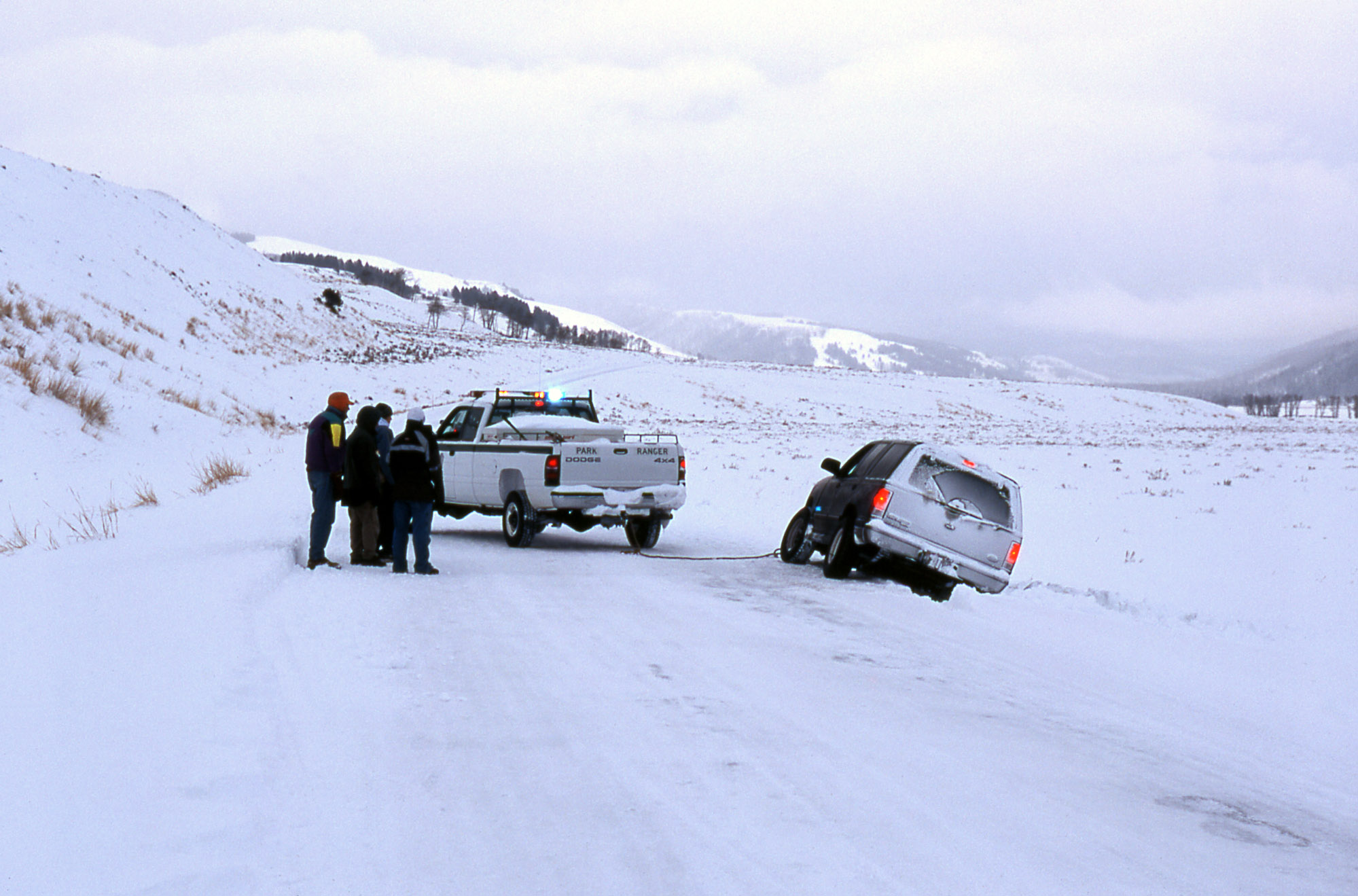
Sometimes you encounter “Bumps in the Road”

(source Wikimedia Commons)
Real Time Data
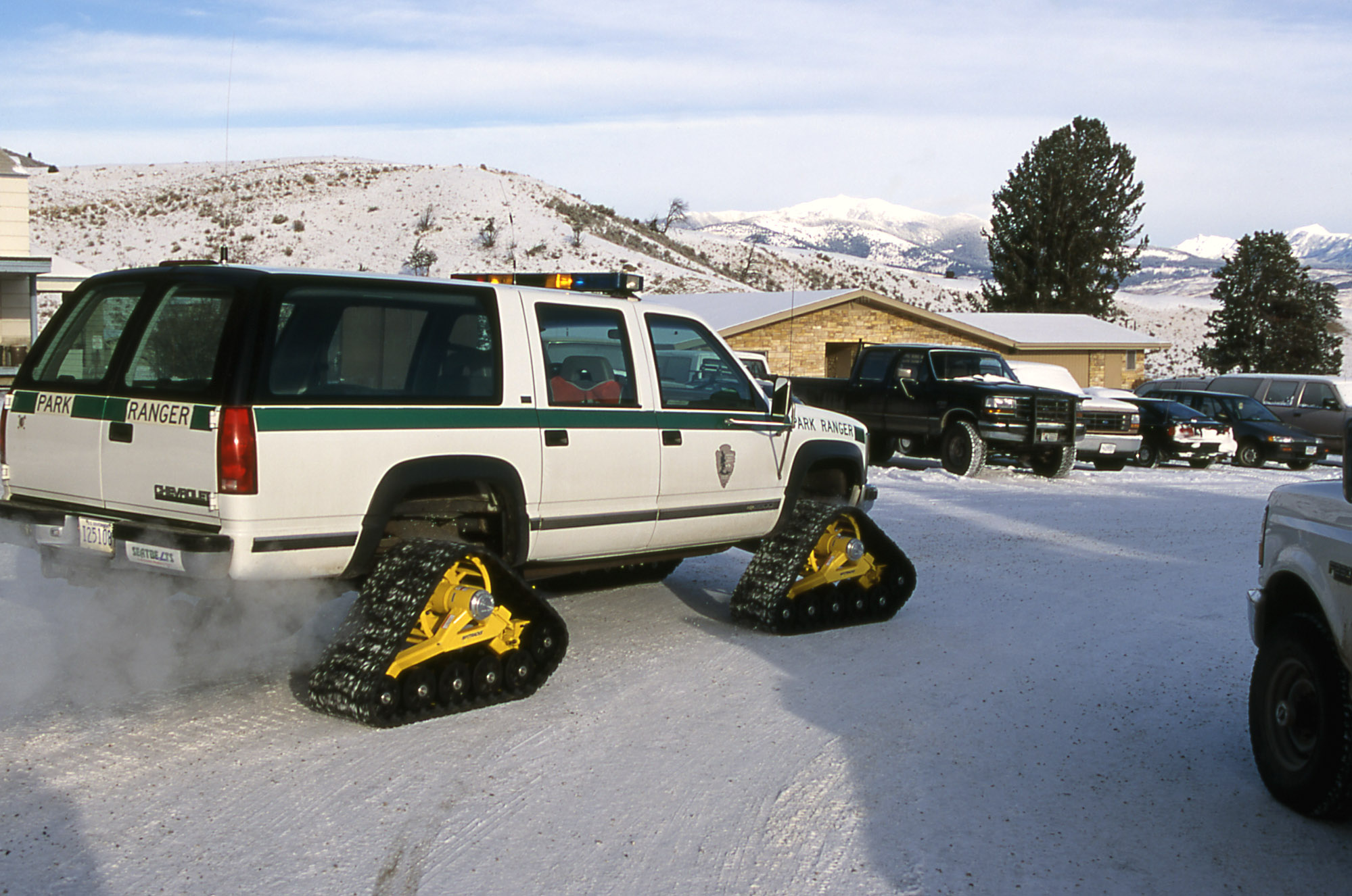
Conditions can change rapidly

(source nps.gov)
Real Time Data
Our current focus:
- Road conditions and incidents
- Geyser predictions and eruptions
- Campground openings, closures, and availability
Real Time Data
Improving the visitor experience:
- Instantaneous communication of changes
- Trip planning
- Improved place-finding
- Inter-park routing
Real Time Data
Improving internal operations:
- More efficient data entry
- Better data management
- Seamless dissemination of information via web site, email, social media, mobile apps, etc.
- Shared responsibility for creating and maintaining data
- Access to archived data to generate reports
NPS Places Live

NPS Places Live
- Live road closure and campsite availability status
- In several parks
- Blue Ridge Parkway
- Yellowstone
- Grand Teton *
- Golden Gate *
- Update info in one place
- Screens update on kiosks at park visitor centers
- Custom basemap design
NPS Places Live

NPS Places Live

(source nps.gov)
NPS Places Live

NPS Places Live

NPS Places Live

NPS Places Live

NPS Places Live

NPS Places Live

NPS Places Live
Geysers


NPS Places Live

NPS Places Live

NPS Places Live
Campgrounds


NPS Places Live

Questions?
npmap@nps.gov
Jim McAndrew @jimmyrocks
 |
 |
Questions?
npmap@nps.gov
Jim McAndrew @jimmyrocks
 |
 |